Skip to main content
Home
About Us
Contact Us
Donate
Copyright
Projects
Alaska and Polar Regions Collections & Archives
Rasmuson Library
University of Alaska Fairbanks
Project Jukebox
Digital Branch of the University of Alaska Fairbanks Oral History Program
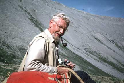
Bill Brosge working in the field
« Back to gallery
Item 11 of 27
« Previous
|
Next »
Description:
Bill Brosge mapping the Philip Smith Quadrangle, 1976.
Photo By:
Hill Reiser
Map
Geology
Brooks Range Expeditions
People of the Brooks Range
Bill Brosge
Hill Reiser