
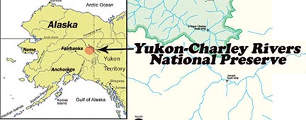
Yukon-Charley Rivers National Preserve encompasses approximately 2.5 million acres of land along the Yukon River in eastern Alaska. The preserve lies between the communities of Eagle on the US-Canadian border and Circle, approximately 170 miles downstream. It also includes 106 river miles of the Charley River along with its entire 1.1 million acre watershed. Major waterways within the preserve are the Yukon and Charley Rivers along with the Tatonduk River, Nation River and Kandik River. Historically, there were a number of communities associated with mining activities scattered throughout the preserve, however very little evidence of these towns remains today. In addition, a number of historic cabins are located along the two major rivers that supported either small mining operations or trapping. Today, some of these are still utilized by local residents as part of their subsistence practices.
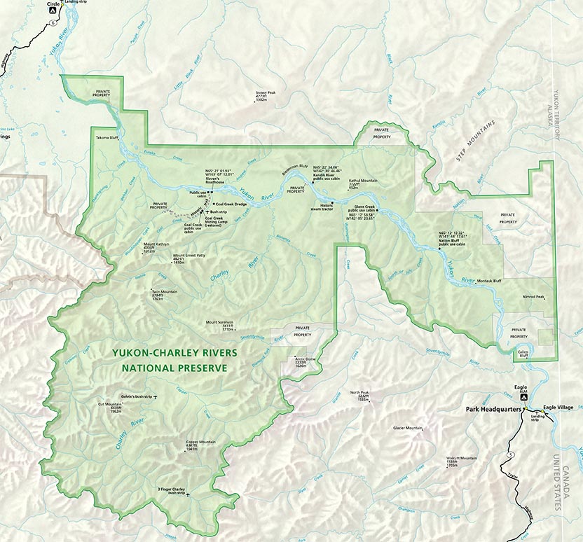
Click the map above to access a larger version of it.